The list of hikes proposed below is characterised by separation from motorised traffic, good pavement and a flat course. We encourage you to read the detailed description before you set off, because when going on a tour it is good to know in advance what you may encounter on the way. The tours are marked on a map and a GPX track is available for download for each description.
Where to go on a cycling trip with your child?
- Around Lake Czorsztyńskie (30 km)
- Cycling around Podhale - the easiest loop (39 km)
- Around the Tatra Mountains (39 km, one way)
- Along the Vistula River to Tyniec (22 km)
- By bike to Nowa Huta (30 km)
- In Puszcza Niepołomicka (26 km)
- Along the Raba River (43 km)
- Getting to know the Sadecki Valley (24 km)
- By bike "on the waters" (13 km)
- Along the Vistula and Dunajec Rivers (100 km)
- Tracing Kraków's Parks and 25 Playgrounds (26 km)
- Dulowska Forest (40 km)
- Prądnik Valley and Ojców National Park (13 km)
- BIKE ECO-HIKES
- Selected sections of the VeloMałopolska
This is not a closed list of proposals. You can always plan your own family cycle tour using a map with the progress of the works / type of surface. Remember to choose the sections of the VeloMałopolska routes without car traffic, i.e., all sections marked on the map in black (traffic-free, asphalt cycle tracks or pedestrian-cycling routes) and in red (gravel roads / dirt tracks). In addition, the map includes a "Parking" layer with marked places where you can comfortably park your car, change to a bicycle and start your adventure on Małopolska cycling routes.
1. Around Lake Czorsztyńskie (30 km)
A proposal for a tour of the cycling infrastructure created in recent years around Lake Czorsztyńskie. Lots of reports have already been written, so you can easily scour the internet, we refer you to the one available on our website. If you are riding with children, I recommend choosing option 1 (with sailing along the waterway between the castles in Czorsztyn and Niedzica), spreading the ride necessarily over the whole day and riding it counter-clockwise. I recommend to start e.g., in Frydman or Dębno and riding the section on the southern side of the lake (definitely hillier) at the beginning, when there is still a lot of strength left in the children. This is the most picturesque and largest climb up to Falsztyn on our way. In addition, make sure that the child has working brakes, because the descent after the ascent will verify their efficiency. The only places where you will have to be careful are the sections that are still waiting for the new cycling infrastructure, so we have to squeeze into the car traffic are the sections near the bridges on the Białka River (about 200 metres of narrow pavement on the bridge) and the Dunajec River (the section on the bridge itself + access to the turn-off at the Hub, about 800 m). The construction of a new bridge over the Dunajec river is about to start and then we will have extra bike lanes over the lake, without having to ride on the provincial road (you can also walk a bit on its grassy side).
Location: southern Małopolska, Lake Czorsztyńskie, Dębno Podhalańskie
Attractions: Castle in Niedzica, Czorsztyn Castle, Green Rocks Nature Reserve, cruise on Lake Czorsztyńskie
Difficulties on the route: steep climb up to Falsztyn (length of approx. 1 km, 100 metres ascent), narrow road bridges (without dedicated cycling infrastructure) over the Białka River and the Dunajec River
Access: Car / parking facilities
Distance: 30 km
Route: 100% asphalt/concrete, any type of bicycle (separated cycling infrastructure: 87%, roads with general traffic 13%)
Gpx track: download
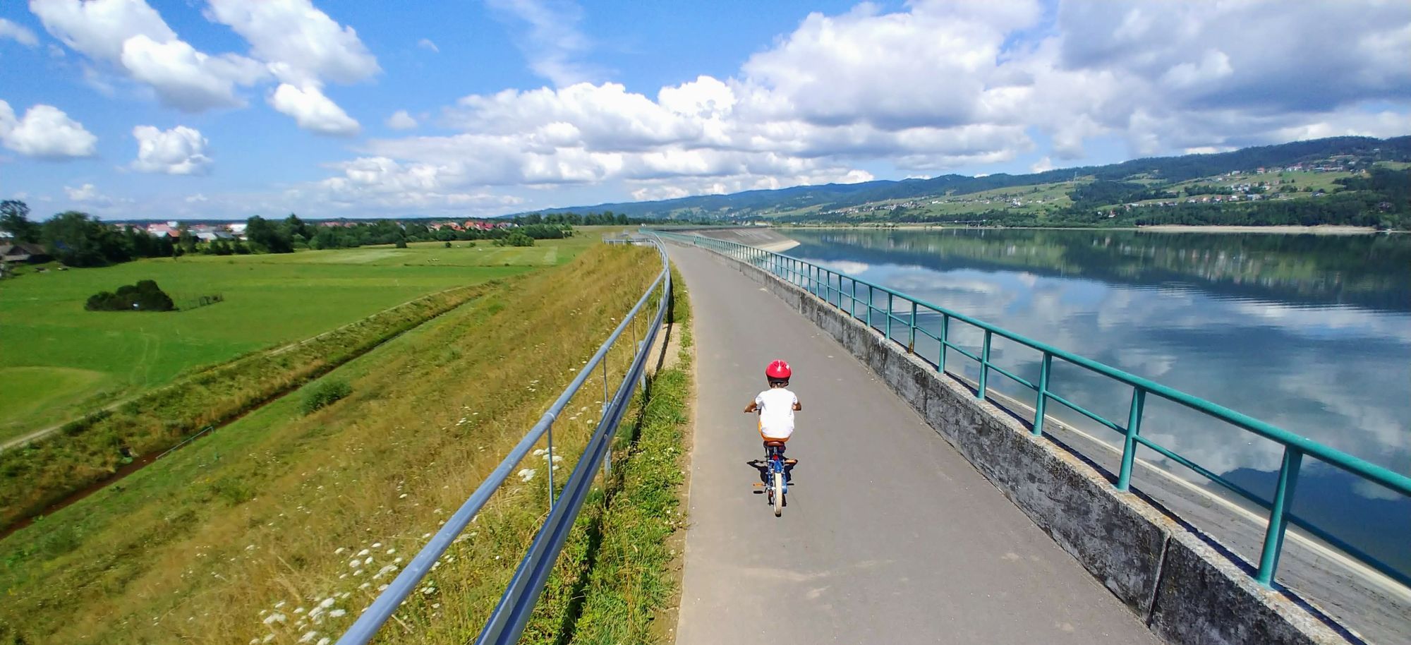
2. Cycling around Podhale - the easiest loop Nowy Targ / Lake Czorsztyńskie (39 km)
A full description of the proposal can be found here, but in short it is an idea to extend the above-mentioned loop around the lake with another loop in Kotlina Nowotarska, which in recent years has become very "pro-bike" thanks to the construction of the Cycling Route Around the Tatras and VeloDunajec. Please note! In large stretches between Waksmund and Dębno, the VeloDunajec route leads along local roads, where you may encounter cars, because traffic is allowed here for residents who have already got used to the fact that at weekends the roads are taken over by cyclists.
Location: southern Małopolska, Podhale, Podtatrze, Nowy Targ, Lake Czorsztyńskie, Dębno Podhalańskie
Attractions: Market Square in Nowy Targ, Bór Nad Czerwonem, Białka River Gorge, churches in Harklowa and Dębno Podhalańskie, Tetmajerówka in Łopuszna
Difficulty of the route: gravel section through Bór nad Czerwonem (7 km) and along Białka River (3 km). The VeloDunajec section from Waksmund to Dębno is routed along roads with calm, local traffic of inhabitants
Access: Car / train / bus
Distance: 39 km
Route: 74% asphalt/concrete, 26% gravel, paved (separated cycling infrastructure: 87%, roads with general traffic 13%)
Gpx track: download
3. Around the Tatra Mountains - Cycling Route Around the Tatras (39 km, one way)
We still stay within the Nowotarska Valley, because there is another excellent option for a trip with children. It's true that it's not a loop, but it's worth taking this route from Nowy Targ all the way to Slovakian Trstena and back to fully appreciate the cycle route built in the footsteps of the old tracks. One way is about 40 km, so take this into account. You can also follow the trail to the Polish-Slovakian border, near which there is a brilliant turn-off via a picturesque connector to Chochołów (also asphalted, with no car traffic). If you want to shorten the distance, we recommend turning back on the Polish-Slovak border, near this connector, which will take you about 50 km there and back. For more variety, you can also turn to the trail branches through the so-called Puścizny (Wilderness) or to the ponds in Krauszów. More about the route can be found at www.szlakwokoltatr.euLocation: southern Małopolska, Podhale, Podtatrze, Nowy Targ, Chochołów
Attractions: Nowy Targ, thermal pools in Chochołów
Difficulty on the route: from Nowy Targ to the PL/SK border there is a slight climb all the way up, then to Trstena it is slightly downhill, so take this into account when planning your trip
Access: Car / train / bus
Distance: 39 km (one way)
Route: 100% asphalt/concrete (separated cycling infrastructure: 97%, roads with general traffic 3%)
Gpx track: download
4. Along the Vistula River to Tyniec (22 km)
Kraków's weekend standard, the so-called Tyniec route. This was the first section of the river embankment to be asphalted in the Małopolska region. Even though there were initially many missing sections, it became the most popular recreational route for Krakus people right from the start, becoming the ignition for the creation of the VeloMałopolska concept, which makes extensive use of river valleys and embankments. Most of the "shortages" have already been made here, so we suggest a trip already on both banks of the Vistula from Wawel to the white-water canoeing course at OSIR Kolna. You may also be tempted to drive to the Abbey in Tyniec, just remembering the detours still in force in 2021 due to ongoing repairs to the Vistula embankment. You can find the "diversions" trail on the Vistula Cycle Route subpage. Thanks to these repairs and the cycling route along the Łączany canal, which is also under construction, it will be possible in 2022 to extend this proposal for an excursion practically beyond car traffic by another 15 km to Jaśkowice and return to Krakow by train, for example. But this is not until spring 2022.Location: Krakow
Attractions: attractions of Krakow, Tyniec Abbey, white-water canoeing course, Vistula cycle route
Difficulty on the route: dirt track on the pedestrian and bike bridge over the Kościuszko Water Reservoir (next to OSIR Kolna)
Access: Car / train / bus
Distance: 21 km
Route: 99% asphalt/concrete, 1% dirt track (separated cycle infrastructure: 100%)
Gpx track: download
5. By bike to Nowa Huta (30 km)
It is a proposal to ride practically 100% on the cycling infrastructure that has been created in recent years in Krakow. The connection of the Market Square with Nowa Huta can in principle be regarded as exemplary, and the tour, in addition to riding along the Vistula embankments, also includes on its route numerous parks and attractions full of playgrounds (Nowa Huta Reservoir, Lotników Park, Central Square, Nowa Huta Meadows). The only place where we have to be careful and go part way with the cars is on ul. Zagłoby/Odmętowa (1 km) and ul. Kopernika (1 km). On both of these streets, there are cycle lanes or contraflows, so depending on the direction you choose to travel, you will be able to use them and at the same time educate the kids on the rules and appropriate behaviour on the road.Location: Krakow
Attractions: Krakow and Nowa Huta attractions, Vistula Cycle Route, Nowa Huta Reservoir, Aviators' Park, Central Square, ki Nowohuckie
Difficulties on the route: driving with cars on ul. Zagłoby/Odmętowa (1 km) and ul. Kopernika (1 km), cycle lanes
Access: Car / train / bus
Distance: 30 km
Route: 100% asphalt/concrete (separated cycling infrastructure: 97%, general traffic driving/contractions: 3%)
Gpx track: download
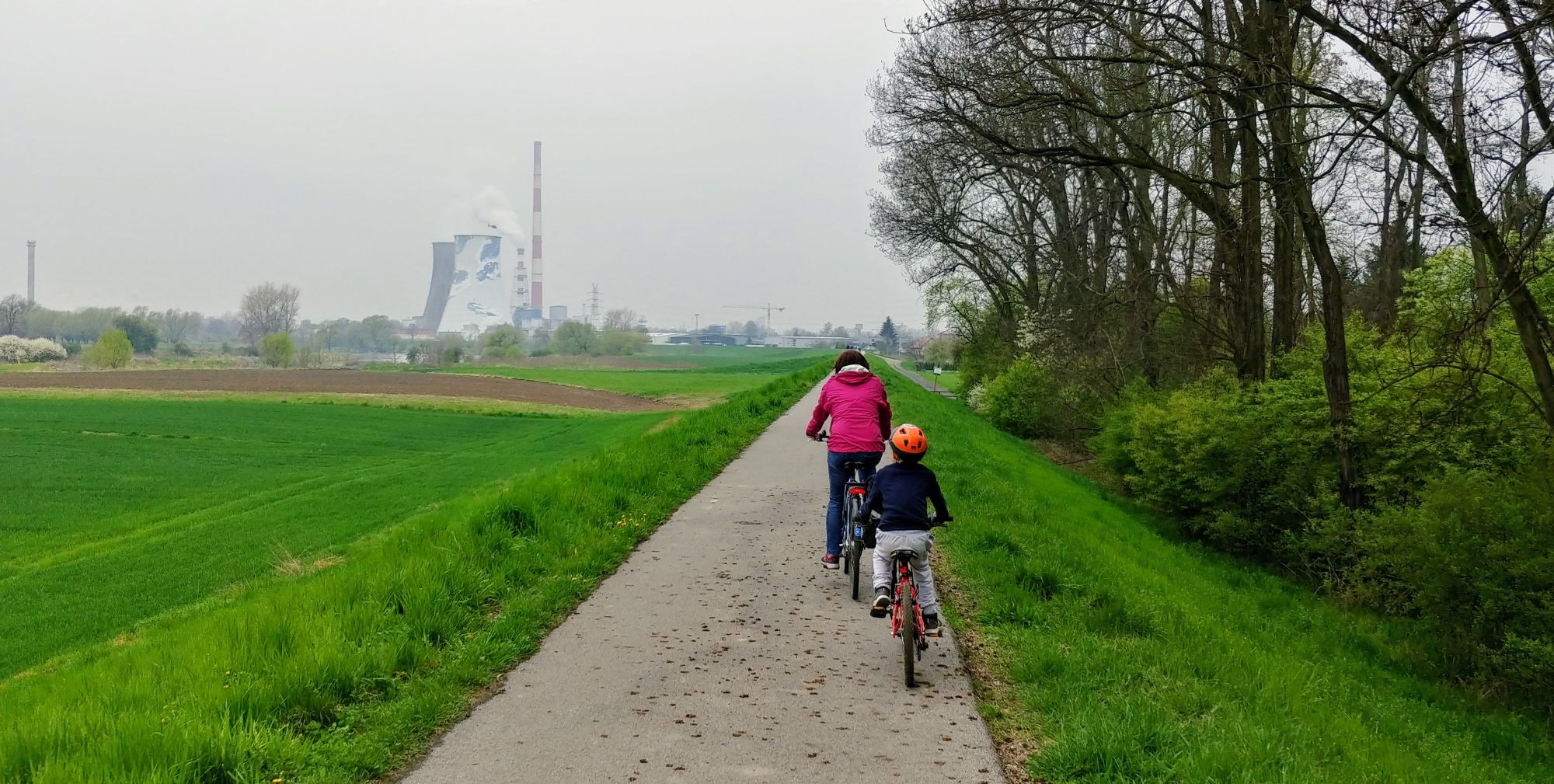
6. In Puszcza Niepołomicka (26 km)
This trip is a perfect idea to ride practically the whole day through the woods, mostly without cars (only on a short stretch in Kłaj and by the military unit we have to ride with cars on local streets). On the way, it is worth to visit the Black Pond and try to hunt for wisents in the wisent breeding centre in Poszyn. The start and finish at the car park that was created as part of the development of the Raba Valley, where there is also a playground, resting places and an asphalt pump track and obstacle course.
Location: Krakow and surroundings, Niepołomice, Niepołomice Forest
Attractions: Niepołomice Forest, Black Pond, European bison breeding centre in Poszyn
Difficulties on the route: passage under the tracks in Kłaj, fragment of a local road from the station to Puszcza (little car traffic) and gravel sections in Puszcza
Access: Car / train / bus
Distance: 26 km
Route: 73% asphalt/concrete, 27% gravel, paved (separated from motor traffic: 85%, driving in general traffic: 15%)
Gpx track: downolad
7. Along the Raba River (43 km)
A proposal for slightly older children, as there will be a ride on 10 km of gravel stretches on the embankments of the Raba River from Mikluszowice to Uścia Solne. This can be a challenge for small wheels, despite a fairly decent paved surface. The trail also includes quiet roads, but with possible car traffic: from Chobot to the edge of Puszcza Niepołomicka (6 km) and on the section Swiniary - Grobla (3 km). The rest is riding on tarmac roads closed to traffic, footpaths and decent cycle routes on the river embankments. Start and finish at the car park in Mikluszowice, near the cycling village.Location: Krakow and surroundings, Niepołomice Forest
Attractions: Niepołomice Forest, Raba River Valley, cycling town in Mikluszowice, swimming pool (Bobrowe Rozlewisko)
Difficulties on the route: gravel section on the Raba embankment, section with cars from Chobot to the edge of the Forest in Zabierzów Bocheński
Access: Car / train / bus
Distance: 43 km
Route: 79% asphalt/concrete, 21% gravel, paved (separated from motor traffic: 81%, driving in general traffic: 19%)
Gpx track: download
8. Getting to know the Sadecki Valley - route Wielogłowy - Barcice (24 km)
Perhaps in the future we will see an ideal "Sącz" loop using both banks and embankments of the Dunajec River, but for now we suggest simply riding back and forth along the finished sections of VeloDunajec and EuroVelo11. Along the way, we turn off to the picturesque Stawy in Stary Sącz, where you must visit the so-called Bobrowiska. In Barcice you can park at a rest area for cyclists. The surroundings of Nowy and Stary Sącz are also full of other attractions for cycling (e.g., the path on the banks of the Kamienica river with the largest pump track in Małopolska or the renovated Shooting Park in Nowy Sącz, and for those who like challenges and climbs - paths in the Municipal Forest in Stary Sącz, where a special viewing platform, the so-called forest pier, is soon to be opened).Location: Nowy Sącz, Stary Sącz, Barcice, Ziemia Sączka
Attractions: Strzelecki Park, Bobrowisko and Stary Sącz ponds, cycling village in Barcice, Poprad mouth to Dunajec
Difficulties on the route: a short section on ul. Ogrodowa, where the route descends into general traffic (it is possible to go round it on the dirt path along the embankment when it is dry)
Access: Car / train / bus
Distance: 24 km
Route: 100% asphalt/concrete (separated cycling infrastructure: 97%, general traffic driving/contractions: 3%)
Gpx track: download
9. By bike "on the waters" - VeloKrynica (13 km)
The route between Krynica-Zdrój and Muszyna may not be perfect, as you will have to meet cars a few times on the way (local traffic), but compared to the "bicycle" connection between these two towns a few years ago, it is incomparably better and is now suitable for riding with children. The trip is reasonably short (13 km) and you can go there and back or take the train that runs between the two spas. Of course, we propose to start at the Krynica pedestrian zone and to follow the course of the Kryniczanka river until its confluence with the Poprad river in Muszyna. Be sure to visit Zapopradzie, which in recent years has grown into a number of walking gardens, bird aviaries and places for walks.
Please note! You have to be careful especially when crossing the DW971 in Powroznik (heavy car traffic) and on the bridge on the same road in Muszyna (only pavements, no cycle crossing).
Location: Krynica-Zdrój, Muszyna, Ziemia Sączka
Attractions: Krynica's promenade and other attractions, gardens and swimming pools in Zapopradz (Muszyna), mineral water intakes at resting places along the route
Difficulties on route: crossing DW971 in Powroznik (heavy car traffic + no marked crossing), crossing of DW971 on the bridge in Muszyna (only pavements, no bike lane), confusing traffic organisation in Muszyna (two-way bike lanes)
Access: Car / train / bus
Distance: 13.3 km
Route: 100% asphalt/concrete (separated cycling infrastructure: 90%, general traffic driving/contractions: 10%)
Gpx track: download
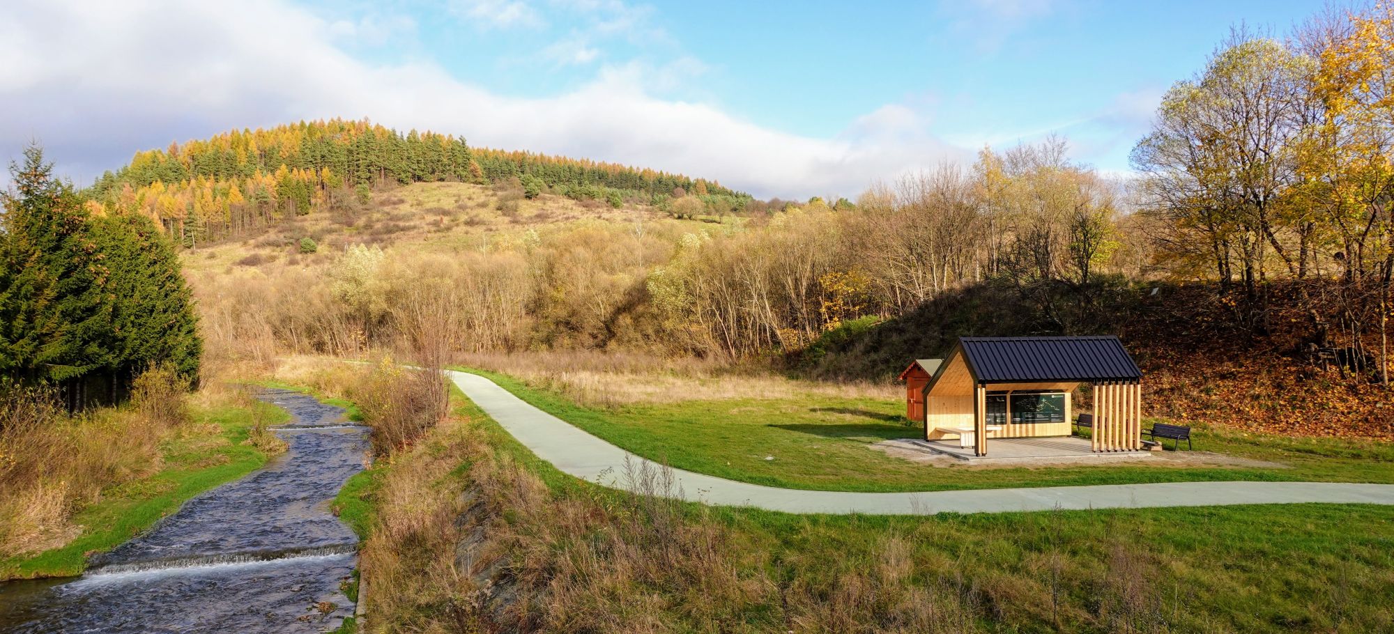
10. Along the Vistula and Dunajec Rivers (100 km)
The longest proposal in the list (equal hundred) and not in a loop, but with the start and finish at the railway stops (Staniątki and Bogumiłowice). This is a suggestion for the first serious cycling trip for a child, spread out over 2-3 days. The tour makes use of completed sections of the Vistula Cycle Route and the VeloDunajec, most of which run along asphalted river embankments, without any elevation (the route runs along the Vistula valley, through the flattest part of Małopolska Region). You will get off the roads with car traffic only a few times, just ideally enough to stock up on provisions in the local shops or find accommodation.
Location: Niepołomice, Wietrzychowice, Ostrów/Bogumiłowice, Kraków and surroundings, Tarnów and surroundings
Attractions: the castle in Niepołomice, the outskirts of the Niepołomice Primeval Forest with the Koło and Wiślisko Kobyle reserves (off-road access), the monastery in Hebdów (in Ispinia you need to take the bridge to Nowe Brzesko), Uście Solne, Nowy Korczyn (entrance via the new bridge from Borusowa, old synagogue near the canoeing marina on the Nida River), the bunkers in Świniary Kępa (and lots of military interesting facts here, see stellunga2.pl), the Dunajec river estuary to the Vistula (dirt road access from VCR), the Wincenty Witos museum in Wietrzychowice and possibly a detour to the Radłowski Forest with ponds/swimming pools (a link to VeloDunajec leads there)
Difficulties on the route: sections with car traffic in Bogumiłowice, Biskupice Radłowskie, Wietrzychowice, Górka, Świniary, Niepołomice (problematic crossing of the Kolejowa/Wimmera junction)
Access: Car / train / bus
Distance: 100 km
Route: 100% asphalt/concrete (separated cycling infrastructure: 82%, general traffic driving/contractions: 18%)
Gpx track: download
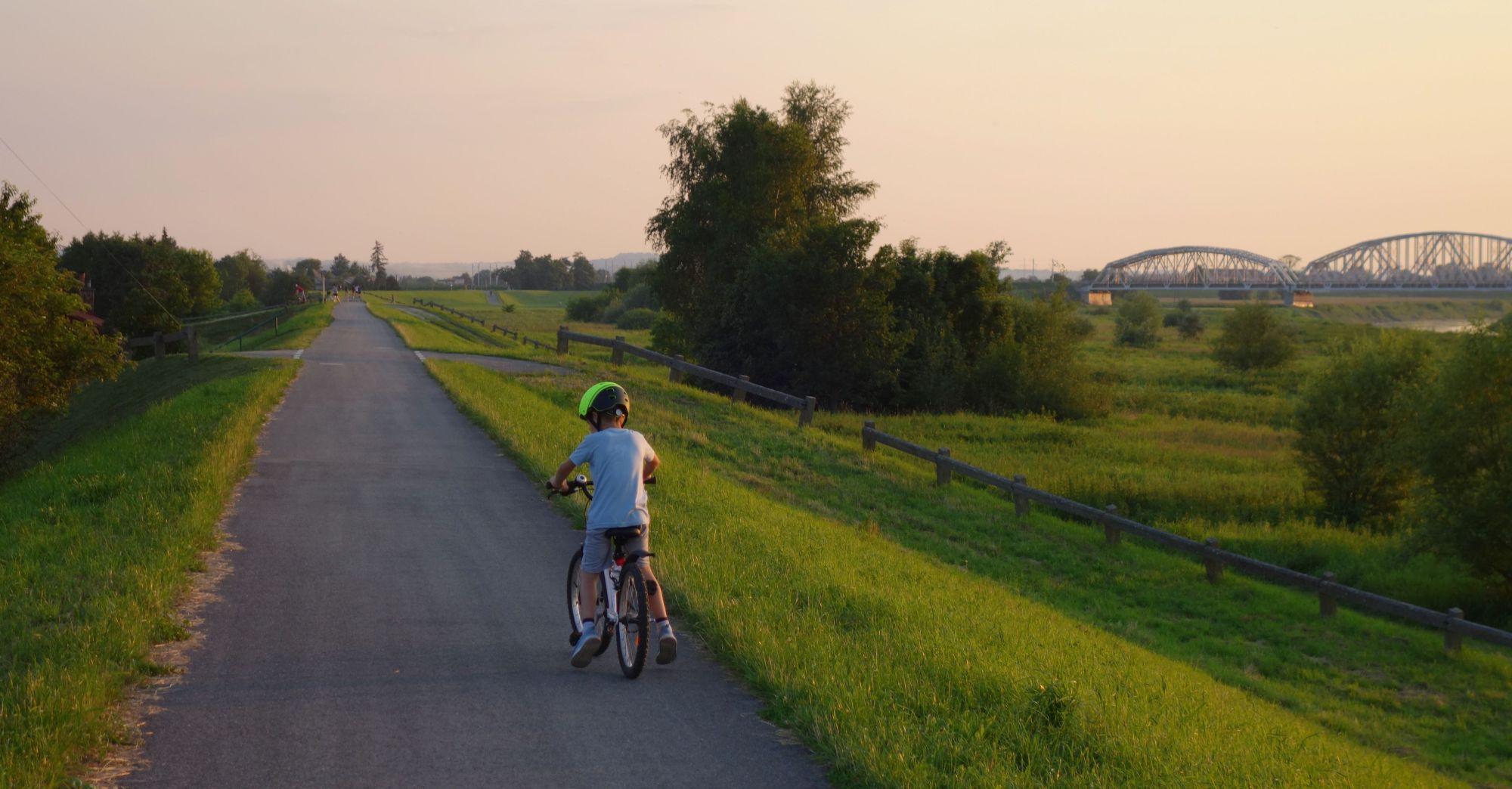
11. Tracing Kraków's Parks and 25 Playgrounds (26 km)
As Krakow has been investing quite heavily in park development over the last few years, this is a proposal for a ride through the already existing green areas in the northern part of the city. Are there actually 25 playgrounds? We lost count after having fun on several such pitstops, so you have to go and count by yourself :-) Anyway, the route connects the following parks in Krakow: Kościuszki, Zaczarowana Dorożki, Ogrody nad Sudołem, Reduta, Tysiąclecia, Planty Bienczyckie, Zalew Nowohucki, Szwedzki, Ratuszowy, Wiśniowy Sad, Lotników Polskich. To get from the park to the park we will mainly use pavements, cycle paths and footpaths. You will also pass quite a number of refreshment points along the way, so there will be plenty of places to eat. In the Polish Aviators' Park, apart from a visit to the Aviation Museum (which child can resist entering the cockpit and holding the controls of a real plane), we also recommend the renovated Experimental Park and practising your driving technique on the large, asphalt pump track.
Location: Krakow, Nowa Huta
Attractions: parks in Kraków, Museum of Polish Aviation, Museum and undergrounds of Nowa Huta, Witold Lutosławski Experimental Garden. Stanisław Lem Park, pump track/skatepark in Polish Aviators' Park, brine graduation tower and beach at the Nowa Huta Reservoir, Jan Matejko Manor House in Krzesławice.
Difficulties on the route: be careful when crossing streets at pedestrian or cycle crossings, noise level and riding on the pavement with cycle traffic permitted on the section at ul. Lublańska/Opolska
Access: Car / train
Distance: 26 km
Route: 97% asphalt/concrete, 3% gravel/paved (pavements + separated cycling infrastructure: 95%, driving in general traffic (mainly residential streets: 5%)
Gpx track: download
12. Dulowska Forest (40 km)
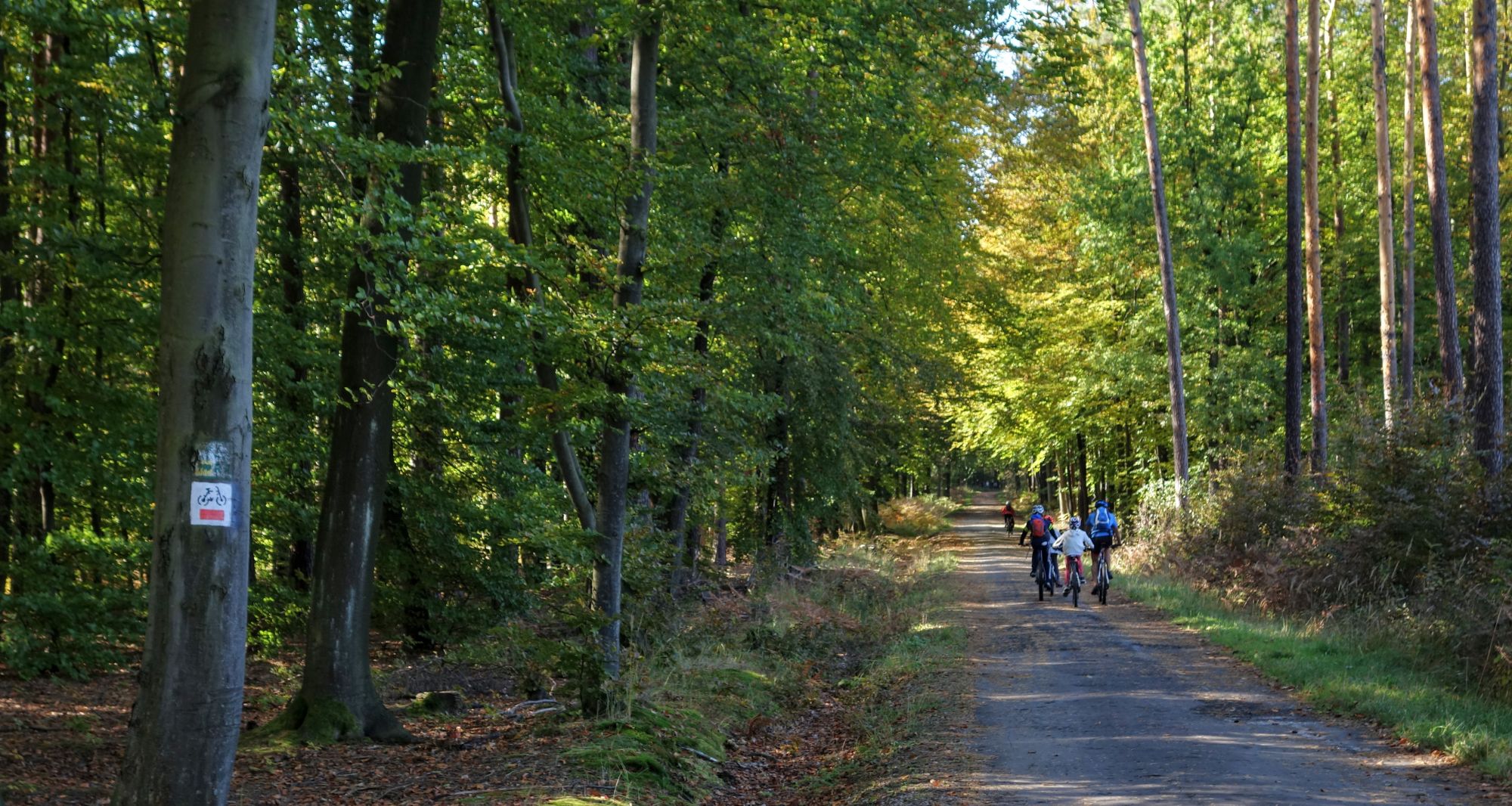
The Dulowska Forest is another, after the Niepołomice Forest, willingly visited "forest" refuge for family bike trips. The old, segregated roads (beware that the asphalt is heavily worn in places, not very suitable for inline skating, for example) that crisscross this forest complex not only guarantee a peaceful car-free ride, but also provide plenty of shade on warm days. The suggestion for this tour is simply to ride on the main "forest" road running through the Forest, but there is a whole network of dirt tracks and paths, so just take this as a starting point to create your own tour. The recommended means of transport is to get there by car and park in the forest car parks available here, but you can also get there from Krakow by train, though from Trzebinia or Krzeszowice stations getting to the edge of the Forest will require mostly driving in general traffic, as there are not even pavements everywhere. A must-see during the trip is for sure the Tenczyn castle in Rudno, but with children I suggest you just walk up to the castle, as the asphalt or trail ascent is quite steep. Finish or start at the renovated Chechlo lagoon with beaches, piers and brilliant playgrounds.
Location: Krzeszowice, Trzebinia, Krakow and surroundings
Attractions: Dulowska Forest, Chechlo Lake
Difficulties on the route: fragment in general traffic on ul. Słowackiego in Trzebinia (access to the Chechlo lagoon)
Access: Car / train (access from Krzeszowice station in general traffic)
Distance: 22 km, one way
Route: 72% asphalt/concrete, 28% gravel/ground (separated infrastructure, mainly internal forest roads: 75%, driving in general traffic: 25%)
Gpx track: download
13. Prądnik Valley and Ojców National Park (13 km)
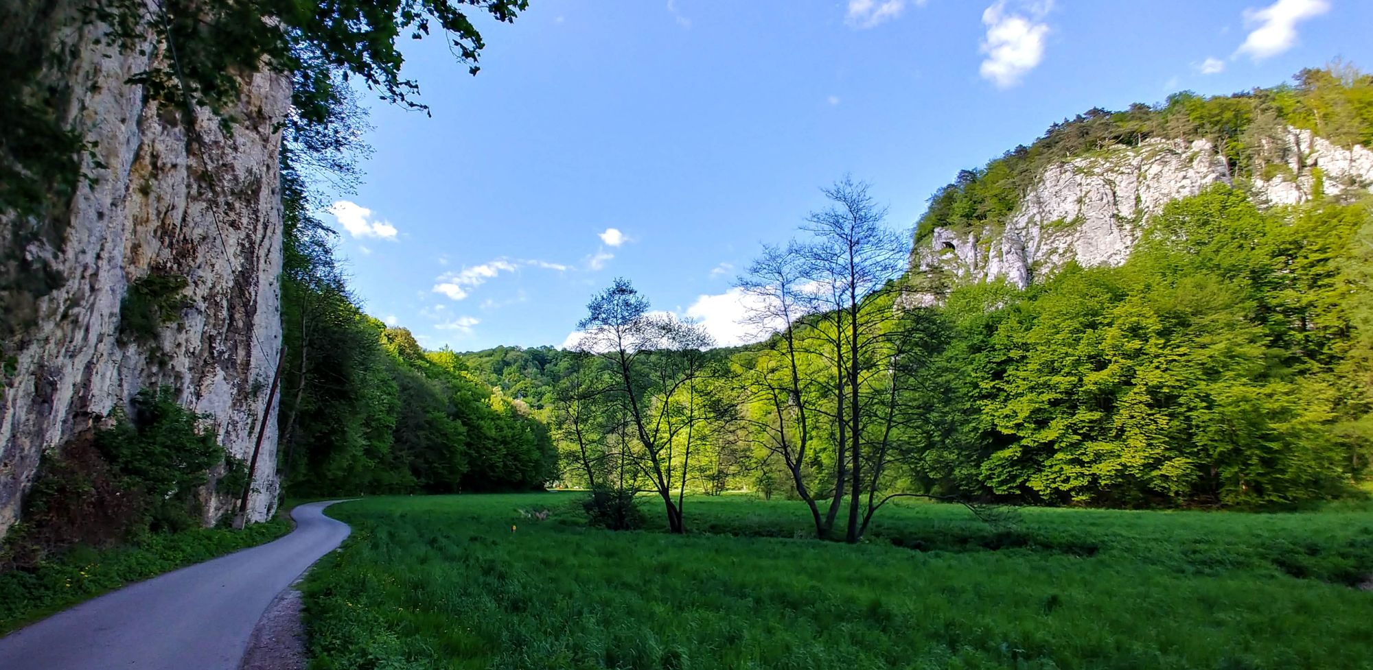
Ojców National Park is another of the iconic places in Małopolska, which is worth visiting while taking your bikes to your car (the only logical way to get there). The proposal for the trip is basically to ride mostly on roads closed to general traffic running through the Prądnik Valley. Please note! Be warned that on sunny weekends there is a lot of tourist traffic and it can be difficult not only to park but even to get there. On weekdays, on the other hand, it is a haven of peace and quiet, and its proximity to Krakow makes it worth a visit just one afternoon. The target car park is the one under the castle in Ojców, but there are also smaller ones on the Prądnik Korzkiewski side. Apart from lazy cycling, we also recommend venturing into all possible caves (but you will have to leave your bikes in the valley), tasting Ojców's trout or visiting Ojców Castle.
Location: Ojców, Cracow and surroundings
Attractions: Prądnik Valley, Ojców National Park, Ojców Castle,
Difficulties on the route: general traffic sections from the side of Prądnik Korzkiewskiego (if you do not want to go together with possible cars, you should make a U-turn at the junction with ul. The trip is then shortened by about 4 km), and in a few sections the gravel surface, the old cobblestone surface near the Krakowska Gate or the dirt surface near the fish ponds may be problematic for smaller wheels.
A lot of tourists (walking and cycling) traffic at weekends.
Access: Car
Distance: 13 km (entire trip)
Route: 70% asphalt/concrete, 30% gravel/gravel/pavement (segregated infrastructure, internal roads with traffic only for residents: 70%, driving in general traffic: 30%)
Gpx track: download
14. BIKE ECO-HIKES
A great idea for family sightseeing in Małopolska is trips in an eco-rhythm, presented in a publication by Dominika Zaręba and Barbara Sadurska. The tours are divided into sub-regions, representing easy and medium levels of difficulty. The publication is available in the bookmark - In the rhythm of eco.
15. Selected sections of the VeloMałopolska
Below are selected sections of the VeloMałopolska routes, which are ideal for beginner cyclists. The links will take you to A4 maps in PDF format which you can print out yourself at home. In addition to a map with the route, it describes places worth visiting, points of interest and other attractions along the route.
- Puszcza Niepołomicka
- Północno-wschodnia Małopolska
- Ujście Jezuickie – Szczucin
- Uście Solne – Ujście Jezuickie
- Oświęcim i okolice
- Beskid Sądecki
- Piwniczna Zdrój - Muszyna

